Data & Publications
Water Use Data
Water Use Data are annual estimates of water use, which include estimated water use in six water use categories, water use by water source, population estimates, and per capita rates and trends data.
Hydrologic Data
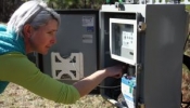
Hydrologic data contains real-time stage and rainfall for selected stations, rainfall totals, Districtwide maps of rainfall stations and stage stations, monthly hydrologic charts for selected ground water sites, and historical rainfall amounts in northwest Florida.
Hydrogeologic Data
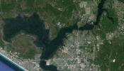
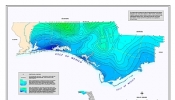
Geohydrologic data contains potentiometric surface maps.
Reports & Plans
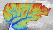
Reports and plans include annual reports and plans, SWIM plans, etc.
GIS & Mapping
GIS and mapping includes the Map Library, GIS Data Directory and District Specific-use Data Sites.